Race Maps
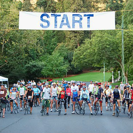
Leg 1: 13K Cycle

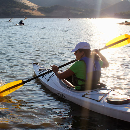
Leg 2: 3K Kayak

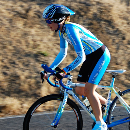
Leg 3: 30K Cycle

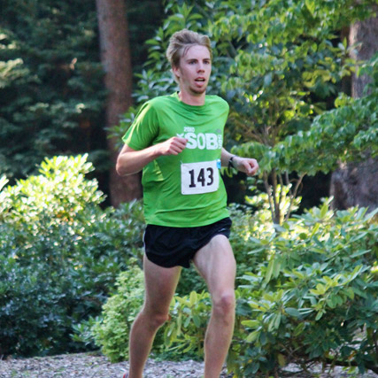
Leg 4: 9K Run

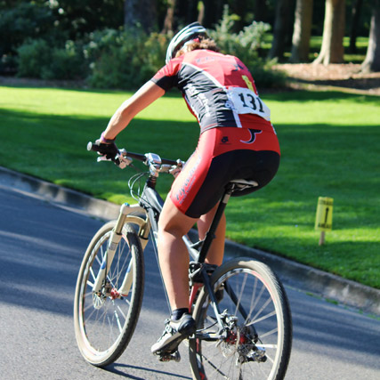
Leg 5: 13K Mt Bike

Leg 6: 6K Run

The narrative descriptions for each Leg have been posted on the individual Leg pages, click on the maps above or the pictured Race Legs at the top of any page for larger maps and descriptions.
Race Packets will include race maps for each of the Race Legs, as well as a detailed description of the course. We encourage each racer to train for the terrain! The Rogue Valley sits at about 2000 feet above sea level, so those coming from Colorado might have an easier time than folks from the coast. Most of the running and cycling courses include gentle hills, with some gnarly challenges on the Leg 5: Mt Bike!
Transition areas between Race Legs will be clearly marked. It will be the racer's responsibility to make the transition within view of the spotters at each transition table and to wear their racing team number clearly displayed on the front of their racing attire!